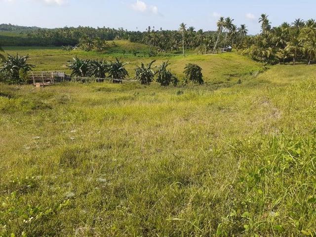
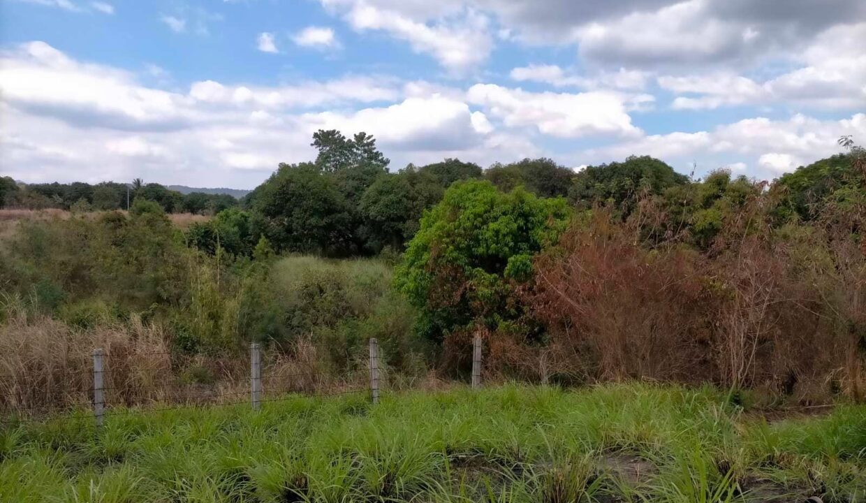
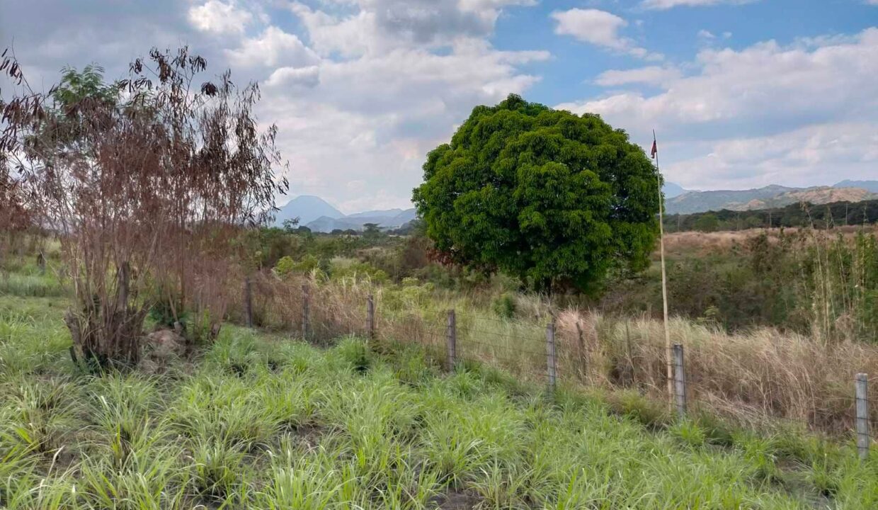
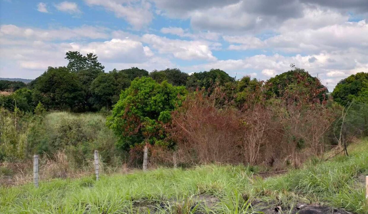
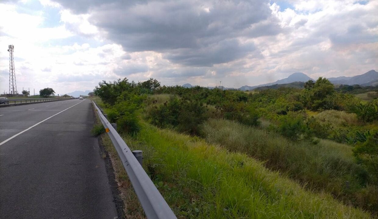
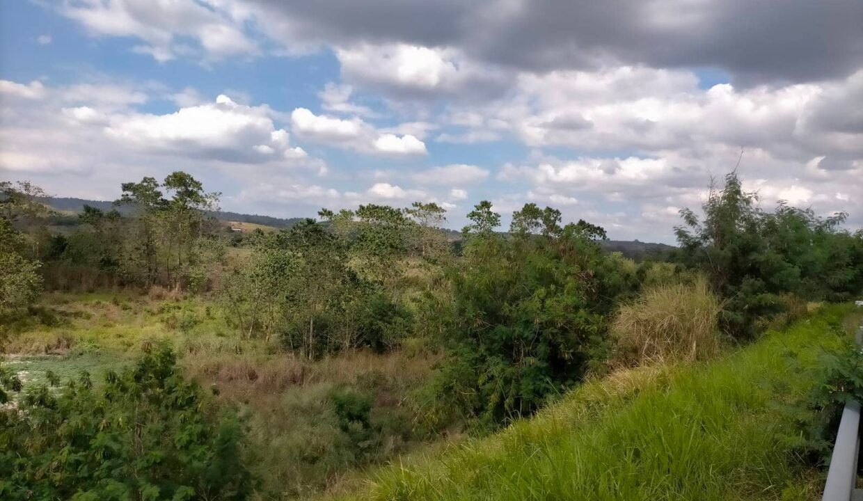
Siargao Agricultural Land for Sale – 18,872 sqm (Santa Fe)
Siargao Agricultural Land for Sale – 18,872 sqm (Santa Fe)…
Php104,739,600
Porac, Pampanga, Central Luzon, 2008, Philippines
For Sale
Php2,178,000,000
FOR SALE 363 Hectares Land for sale in Pampanga along SCTEX
Location : Planas, Porac Along SCTEX
Area : 363 Hectares
Planas Estate is a 363 hectares Agricultural Land located in Porac, Pampanga. It has a frontage of 1.2km along SCTEX. This property is accessible via FloridaBlanca Exit.
Nearest Landmarks:
Clark International Airport – 25 km
Alviera Sandbox – 10 km
Robinsons Land Montclair – 14 km
Subic Bay – 60 km
Manila – 90 km
Clean Titles
Selling Price: 2,178,000,000 Philippine Peso
Porac is a landlocked municipality in the coastal province of Pampanga.
The municipality has a land area of 314.00 square kilometers or 121.24 square miles which constitutes 15.69% of Pampanga’s total area. Its population as determined by the 2020 Census was 140,751. This represented 5.77% of the total population of Pampanga province, or 1.13% of the overall population of the Central Luzon region. Based on these figures, the population density is computed at 448 inhabitants per square kilometer or 1,161 inhabitants per square mile.
The name “Porac” is derived from the word “purac” after the abundant Purac tress encountered by the first settlers and is believed to be the first town established in Pampanga. The then Provincial Surveyor Don Ramon N. Orozco in 1879 called the river in this place “Poraq River” in his sketch of the nearby town of Floridablanca. Puraq later became what is now known as Porac on September 16, 1867.
Agriculture came to the place with the settling of Pampangans, native of Malayan extraction, accompanied by a small number of Spaniards. Porac was a ranch in the slope of the mountain known as Batiawan. Due to the scarcity of water in the mountains the residents moved to the lower grounds near “Poraq River” to sustain their water needs.
In 1853, the settlements in Porac were composed of six barangays namely Dolores, Manibaug, Mitla, Pias y Pio, Pulung Santol and Salu with a total population of 5,408. By early nineteenth century, Porac was a stable agricultural town with its own church, local government, and a Guardia Civil detachment to protect the community from attacks by the Balugas. Spaniards from the Guardia Civil intermarried with the natives, giving the place a notable Spanish mestizo population (Andrade).
After the 1991 Mt. Pinatubo eruption, six (6) lowland and three (3) upland barangays namely Camias, Cangatba, Diaz, Inararo, Mancatian, Manibaug Pasig, San Jose Mitla, Mitla Proper and Poblacion were either partially or completely buried under lahar. This forced residents to evacuate to different temporary relocation sites in neighboring provinces of Tarlac and Nueva Ecija. In 1992, the National Government, through the Mt. Pinatubo Commission and the Municipal Government started building several relocation sites within the municipality. In 1995, the Pio Model Community was finished and housed displaced residents from Cangatba, Mancatian, Manibaug Pasig, Mitla Proper, Poblacion and San Jose Mitla. This was followed by the relocation of the Aetas from Barangay Inararo to the Planas Tent City in 1997.
Today, with the construction of the Subic-Clark-Tarlac Expressway (SCTEX), Porac is seen as becoming the Industrial Hub of Central Luzon with investments coming from companies like the Ayala Land Inc. and the LLL Holdings because of its proximity to Clark International Airport and the Subic Bay Seaport.
Siargao Agricultural Land for Sale – 18,872 sqm (Santa Fe)…
Php104,739,600
Taguig City Land for Sale: 13,787 sqm (C6, Hagonoy) Land…
Php372,249,000
Looking for an agricultural investment in Bohol? This 11-hectare agricultural…
Php200 per sqm
Prime Lot for Sale in Candau-ay, Dumaguete City Overview of…
Php7,500 per sqm